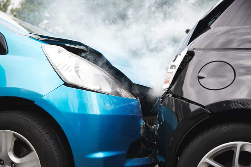
North Florida has a new traffic accident management center: The Regional Transportation Management Center. The center is a culmination of 12 years and $ 11 million of efforts by the Florida Department of Transportation, Florida highway patrol and North Florida Transportation Planning Organization. Before it was built, 911 car accident calls went to Jacksonville Sheriff’s office who then called the Florida Highway Patrol. Now all the dispatchers needed to respond to an emergency will be seated in one room. It is expected to reduce the reaction time considerably.
Jeff Sheffield, one of the biggest proponents of the project, was elated at the opening ceremony. He expressed his disbelief that it had a come to fruition. The idea was mooted in 2003 by TPO chairman Lake Ray. He wanted a centralized traffic management to house everyone. The project was successful in part due to Jeff Sheffield’s efforts in securing the needed $ 11 million to build the center. It comes at a time when vehicles are becoming more autonomous. It will prove useful as it can feed live data of the situation on the road.
THE CENTER
The center has 18 monitors with a combined screen estate of 300 inches. These HD monitors have different uses. Some show sensor recordings, color coded Maps, and different camera angles. The system receives feeds from 600 cameras strategically positioned in the area. The cameras don’t record but just buffer data for when it should be used. It also integrates DOT’s Intelligent Transportation Systems. It uses 1st class technology to provide an efficient accident response system. The operations center has 32 highly qualified employees from the FDOT, JSO and Florida fish and wildlife seated in one hall. These are the agencies that respond 1st to an accident. The FDOT guys monitor the feeds from the Cameras.
It also features a Bluetooth sensor that connects users in their automobiles. It allows them to record time between different points hence can show the speed and position of the various cars. It can also show when there is a snarl up, or when a car has stopped. It uses color codes to show different states of the automobile. All this is then added to a map that can is then displayed on a screen. The future is also promising. There are plans to connect every interstate with cameras, vehicle detection, and backbone fiber optic internet by 2020.

